Geodesy for Drone Surveying
Geodesy for Drone Surveying is your gateway to achieving precision in drone mapping and surveying. This course simplifies complex geodetic concepts, teaching you about the Earth’s shape, datums, coordinate systems, and projections essential for accurate mapping. You’ll learn how to manage distortions, understand reference frames like WGS84 and NAD83, and apply these principles to establish reliable survey control. Designed for drone operators and professionals, this course equips you with the foundational knowledge needed to enhance accuracy and confidence in your projects. Start mastering geodesy and take your drone surveying to the next level!
Your Instructor

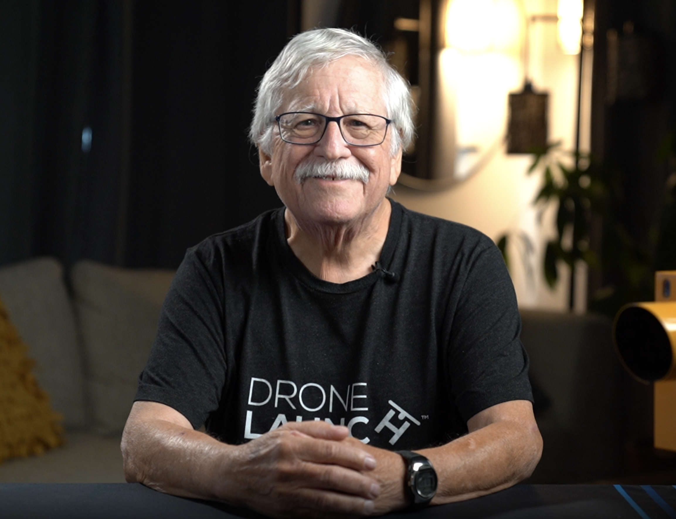
This course is taught by Dave Doyle, one of the most respected experts in geodesy and land surveying, with over 50 years of experience in geospatial positioning and mapping.
For 40 years, Dave worked at the National Geodetic Survey (NGS), ultimately holding the position of Chief Geodetic Surveyor for the NGS. During his time at NGS, he was responsible for the development, technical design, and management of programs that enhanced the National Spatial Reference System (NSRS)—the framework that provides accurate positioning data for surveying, mapping, and engineering across the United States.
His work included major contributions to the North American Datum of 1983 (NAD 83) and the North American Vertical Datum of 1988 (NAVD 88)—the same foundational systems that surveyors, engineers, and geospatial professionals use today. Many of the core concepts in this course are built on systems and methods that Dave helped create.
Beyond his work at NGS, Dave has held leadership roles in some of the most important surveying organizations, including:
✔ Past President of the American Association for Geodetic Surveying
✔ Fellow Member of the American Congress on Surveying and Mapping
✔ Charter Member of the Geographic and Land Information Society
✔ U.S. Delegate to the International Federation of Surveyors
As one of the top educators in geodesy, he has trained thousands of surveyors, engineers, and GIS professionals on survey control, GNSS, datums, and coordinate systems.
Now, in this course, you’ll learn directly from the expert who helped shape modern geodetic and surveying standards. If you want to truly understand how accurate mapping and positioning work—and how to apply them to drone-based surveying—Dave is the perfect guide.
Course Curriculum
-
StartPurpose of this Section (0:48)
-
StartWhat is the National Geodetic Survey (NGS)? (4:54)
-
StartProblem: Everyone Using Their Own Models (4:15)
-
StartTools We Used Before GPS/GNSS (9:44)
-
StartThe Origin Of Global Positioning System (GPS) (5:13)
-
StartGPS to GNSS: Evolution of Satellite Positioning (5:31)
-
StartUnderstanding Satellite Geometry for GPS Positioning (3:00)
-
StartRelevant Organizations for Geodesy and Surveying (4:19)
