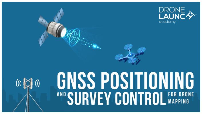
GNSS Positioning and Survey Control for Drone Mapping
Your Instructor
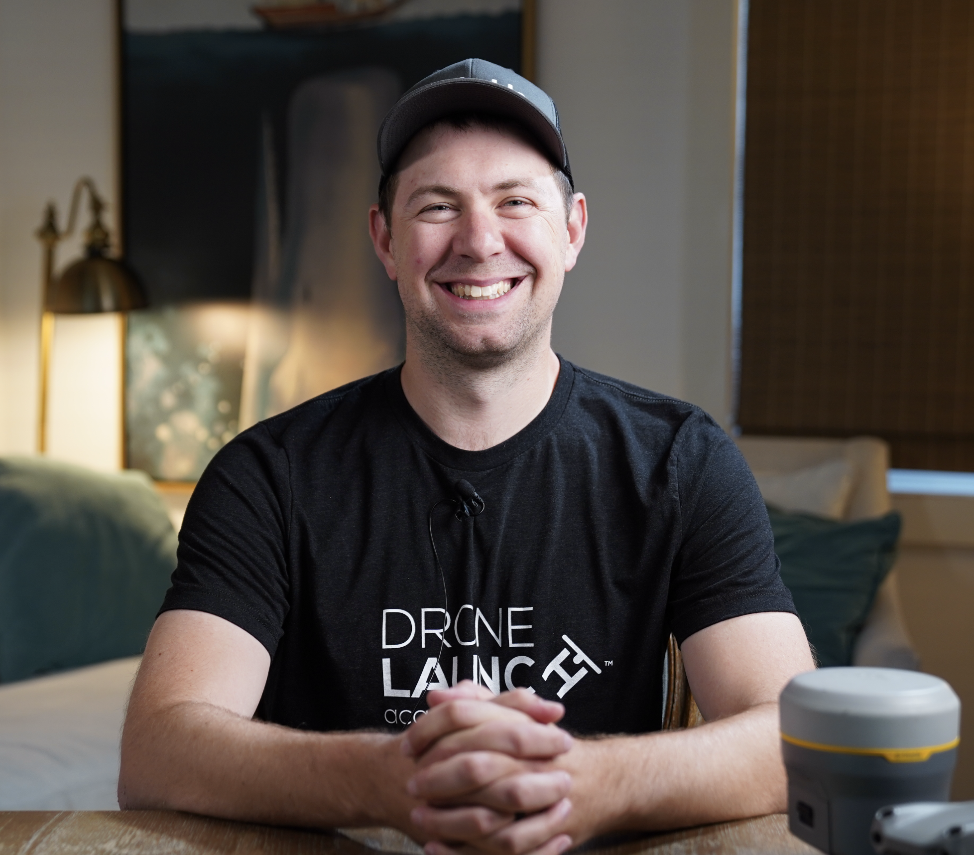
This course is led by geospatial expert Chris Breedlove, a seasoned professional with over a decade of experience in GNSS technology, survey control, and geospatial solutions.
Throughout his career, Chris has worked across multiple sectors, including private engineering firms, local government planning, and specialized consulting roles that have taken him across the country. His expertise spans high-precision GNSS, GIS applications, and integrating advanced positioning technologies into real-world projects.
During his time at Bartlett Tree Experts, he provided geospatial consulting, GIS solutions, and GNSS equipment support, helping teams optimize their data collection workflows for environmental and infrastructure projects. He worked extensively with GNSS positioning systems, ArcGIS, and spatial data management, ensuring accurate survey control and mapping solutions.
Currently, Chris works for a leading survey equipment distributor, where he advises surveyors, engineers, and construction professionals on selecting the best GNSS equipment for their needs. He helps clients integrate advanced geospatial technology—including drones—into their workflows for precise data collection, mapping, and site analysis.
Chris brings a practical, field-tested approach to this course, ensuring that you gain the knowledge and skills necessary to land high-paying drone mapping and surveying jobs. Whether you’re looking to enhance your GNSS expertise or incorporate survey control into your drone projects, Chris’s real-world experience and expert guidance will set you up for success in this growing industry.